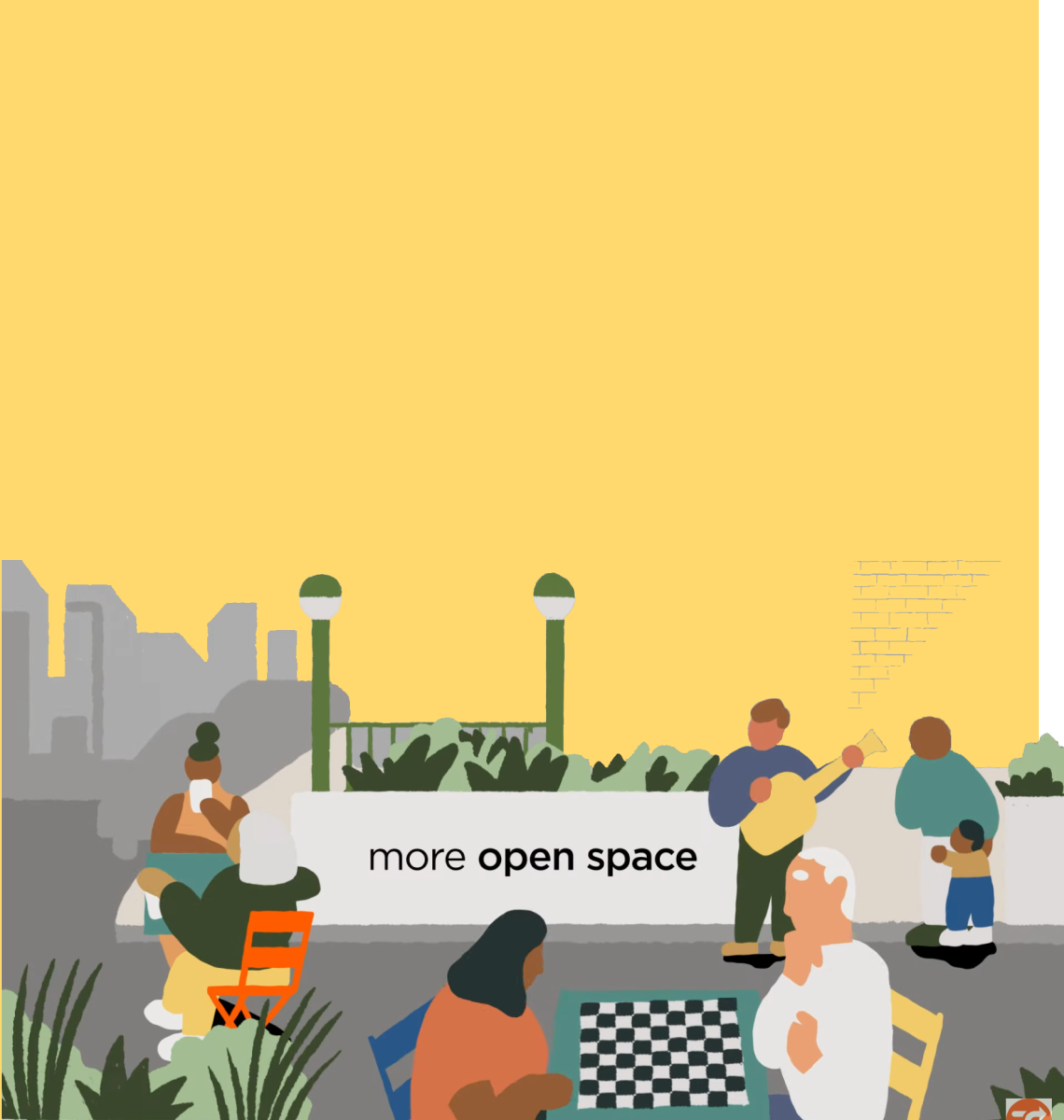
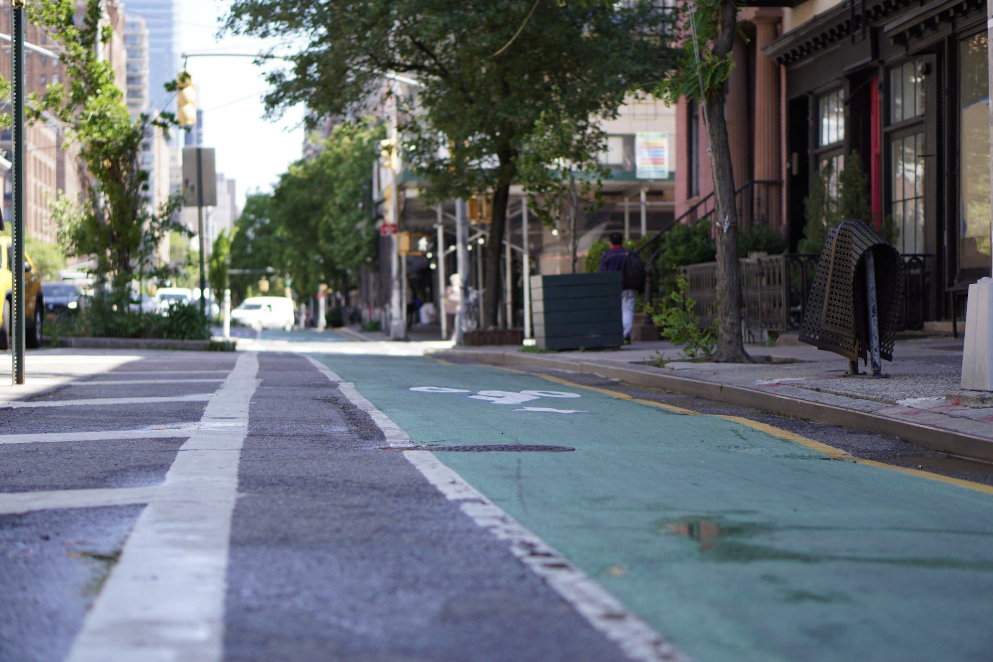
Streets for People
Together, we can transform our streets into safe, sustainable, and equitable places to walk, bike, take transit, gather, and thrive.
Our Work
NYC 25X25
Our challenge to New York City’s leaders is this: How will you give the streets back to people?

Research
Our reports introduce innovative new street designs, import best practices from around the world, and hold our decision-makers to the highest standard of efficacy.

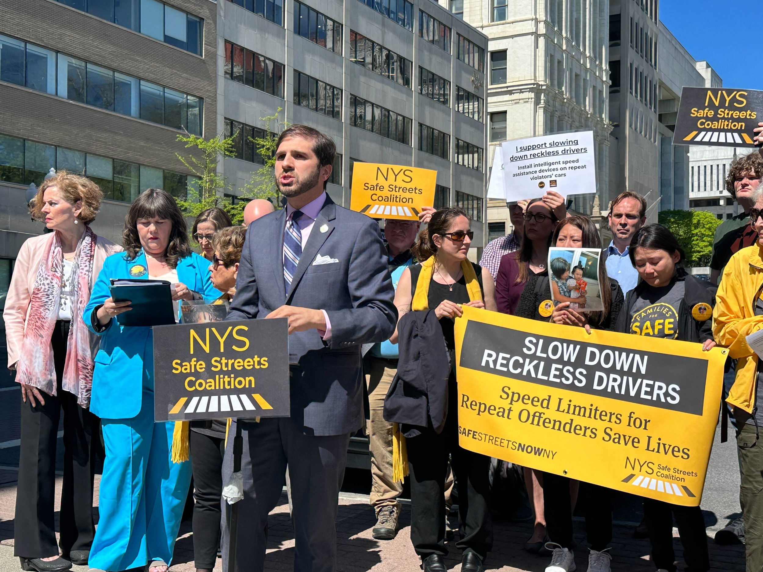
Families for Safe Streets
FSS confronts the epidemic of traffic violence by advocating for lifesaving changes and providing support to people impacted by crashes.

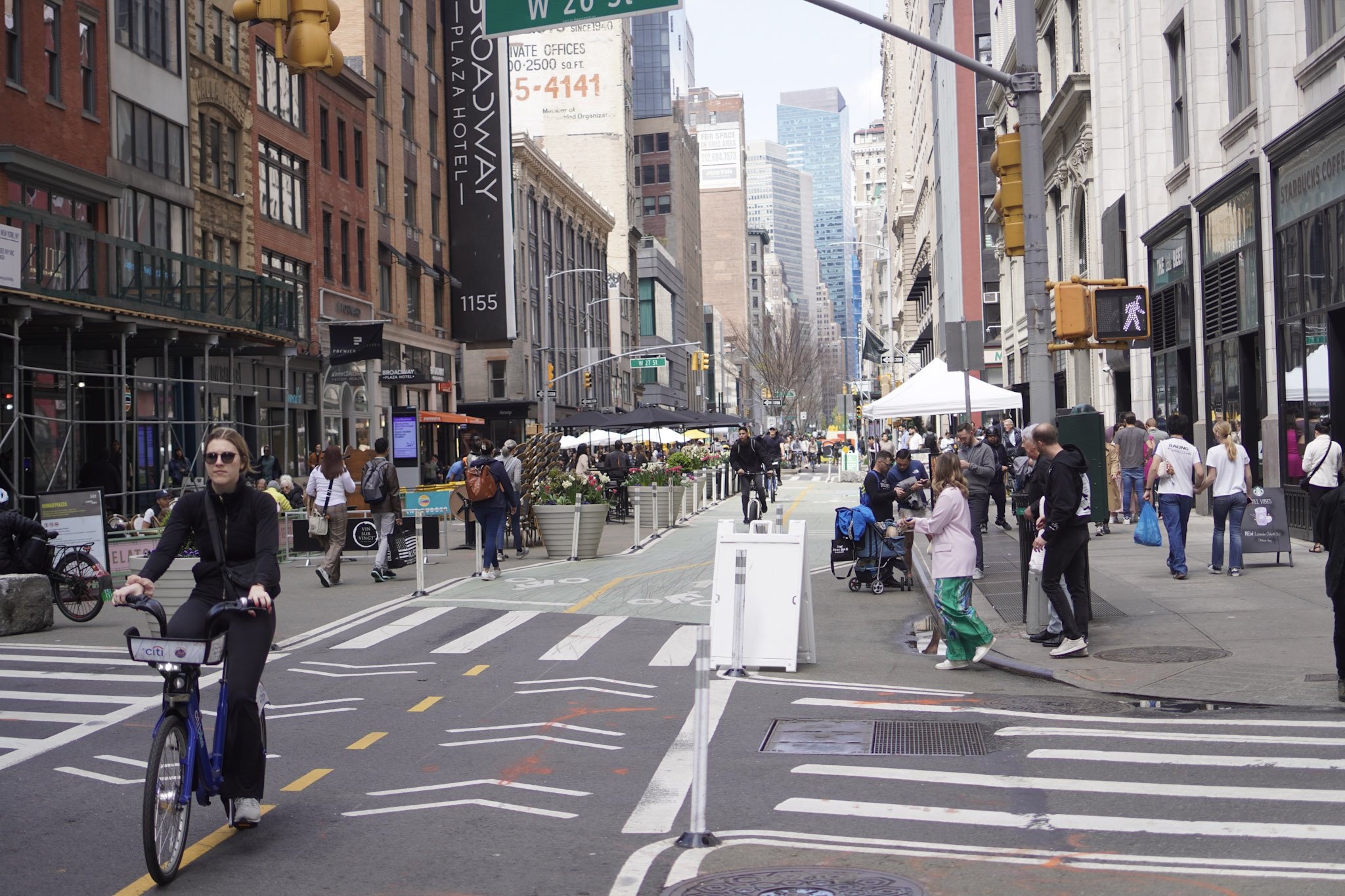
Advocacy
From expanding protected bike lanes citywide to protecting schools with speed safety cameras, our advocacy work is transforming our city.

Our Impact
1,000+
Miles of bike lanes built
100,000+
Supporters strong
150+
Open Streets created
Transportation Alternatives creates change through citywide and borough-specific efforts.
Join us in our fight for safe, equitable streets in every neighborhood by supporting a campaign you care about.
Select a borough to view campaigns, community groups, recent victories, and more.
Where We Work


Stay Connected With Us
Subscribe to get email updates or opt into SMS activist alerts for your borough. You control which communications you get from us.
Support Us
Your donation allows Transportation Alternatives to harness the power of grassroots organizing to make our streets safer, more livable, and more vibrant for all New Yorkers.
And every donation makes you a TA Member. Enjoy perks including discounts at 100+ local shops, invitations to member events, and more.